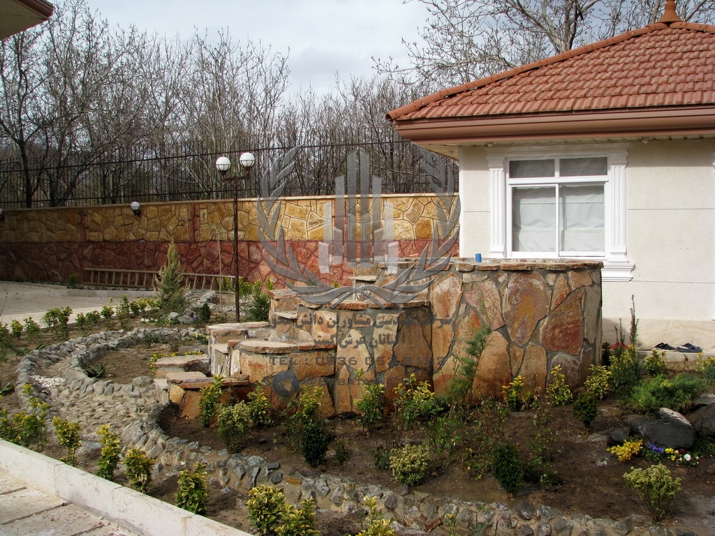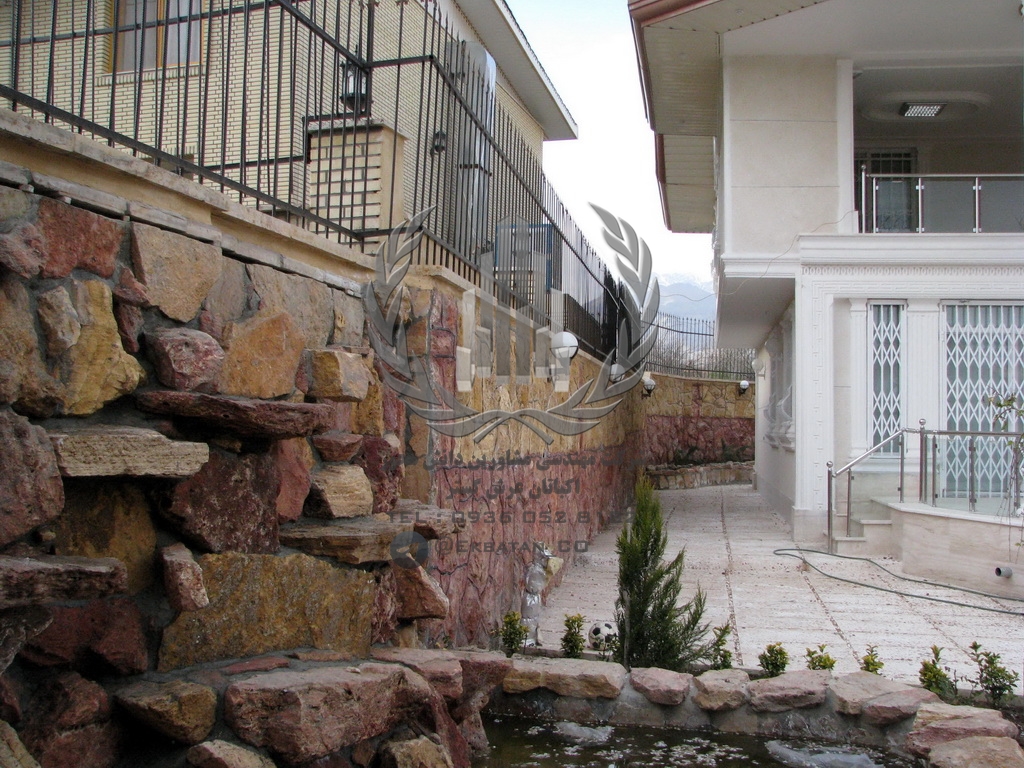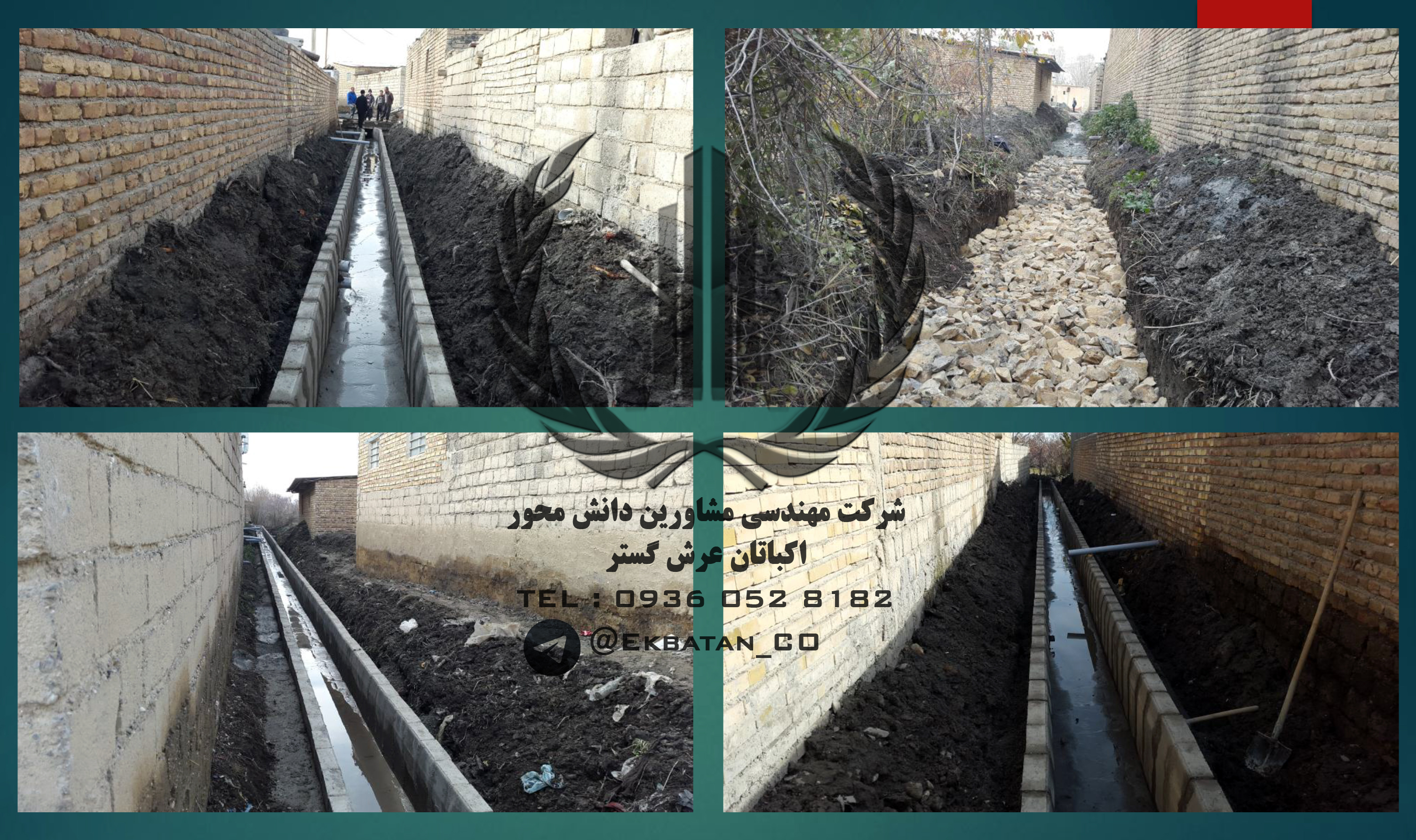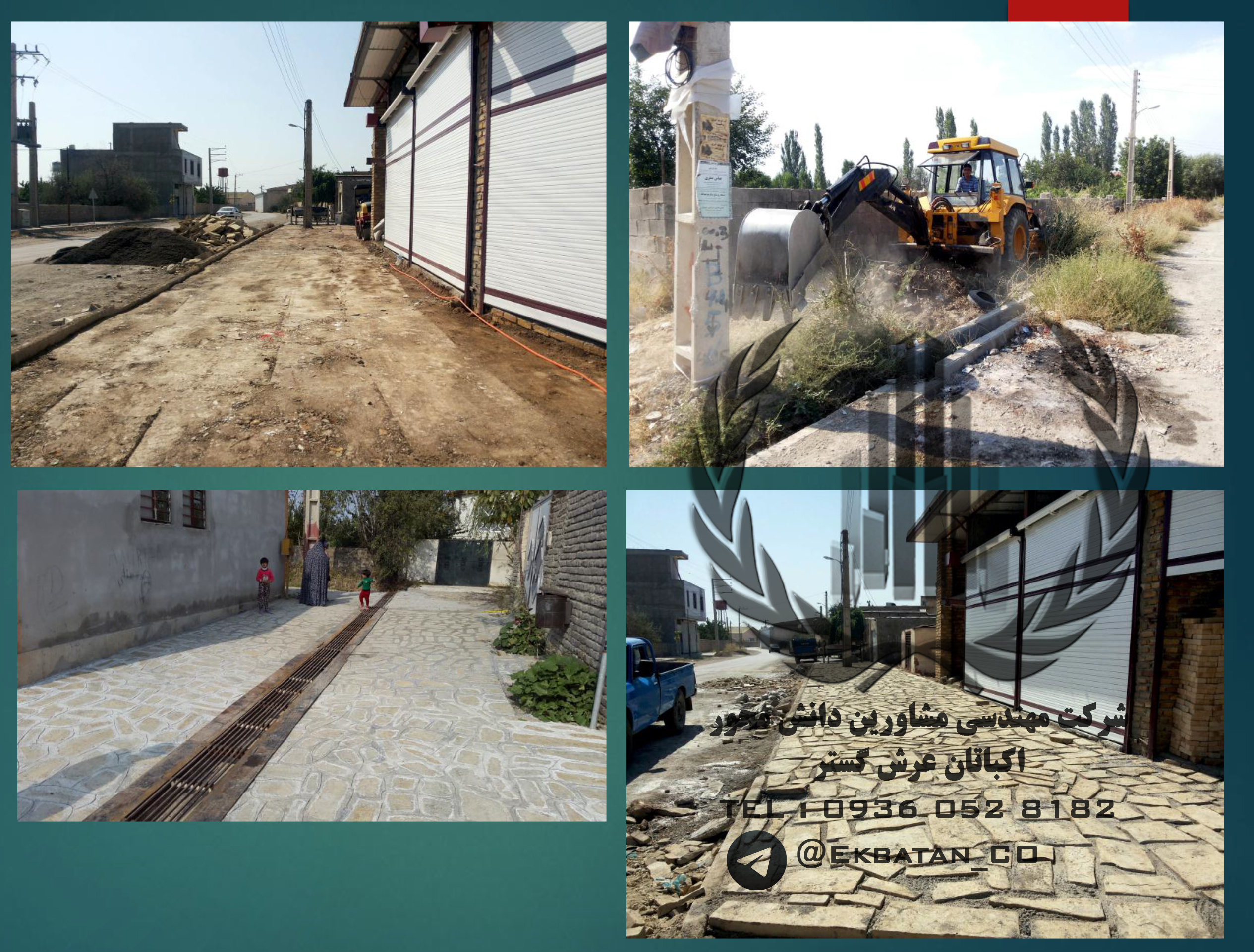


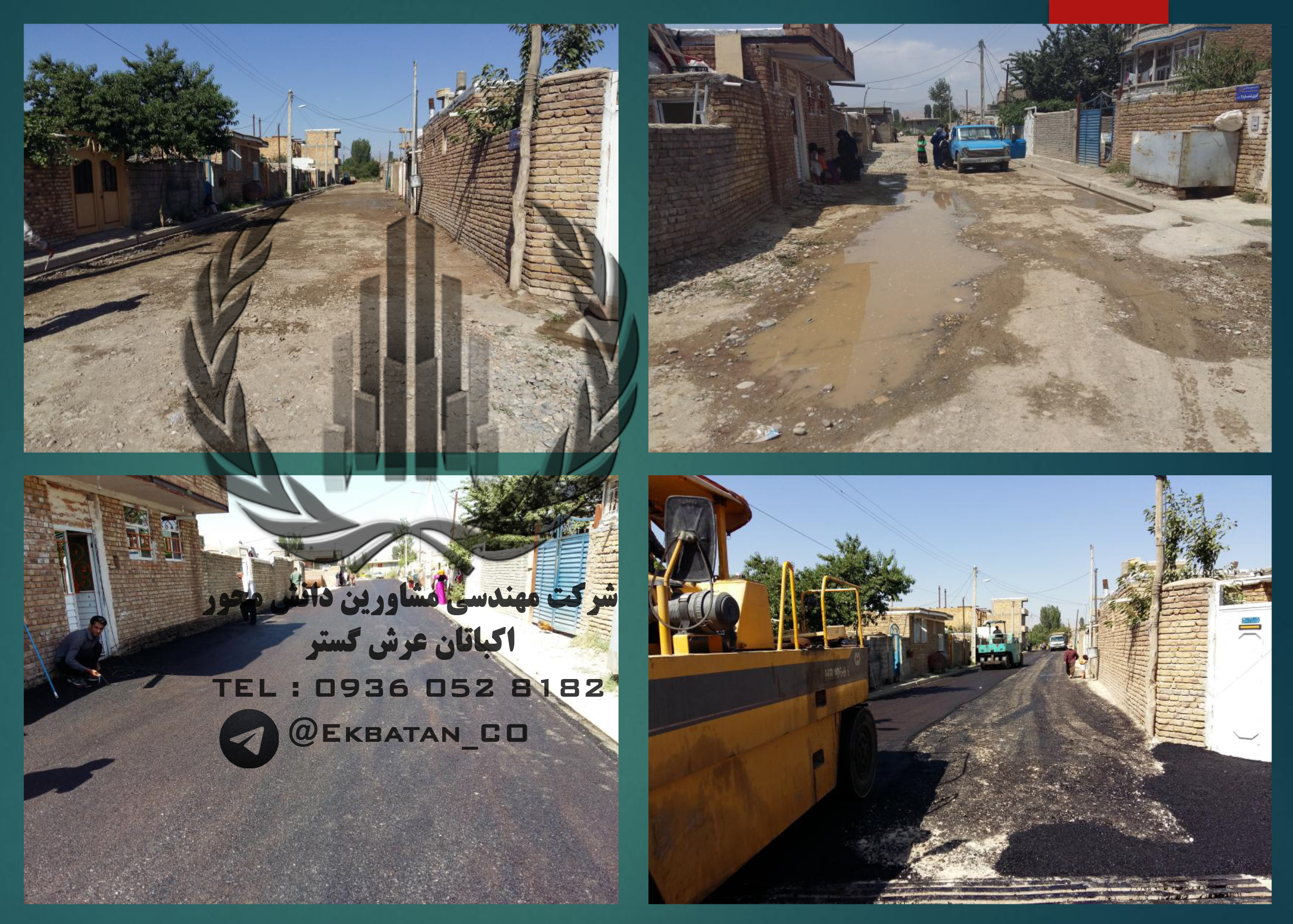

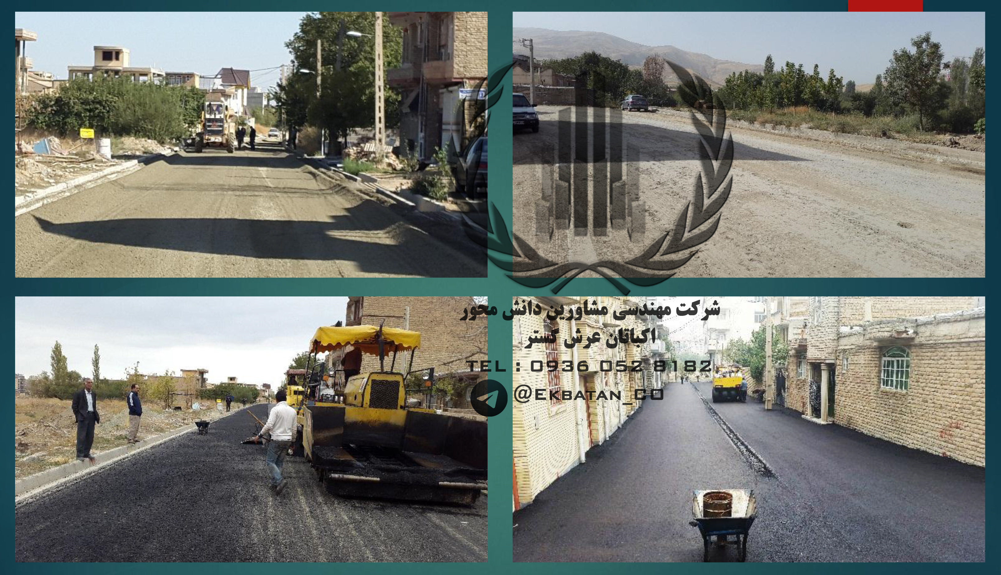
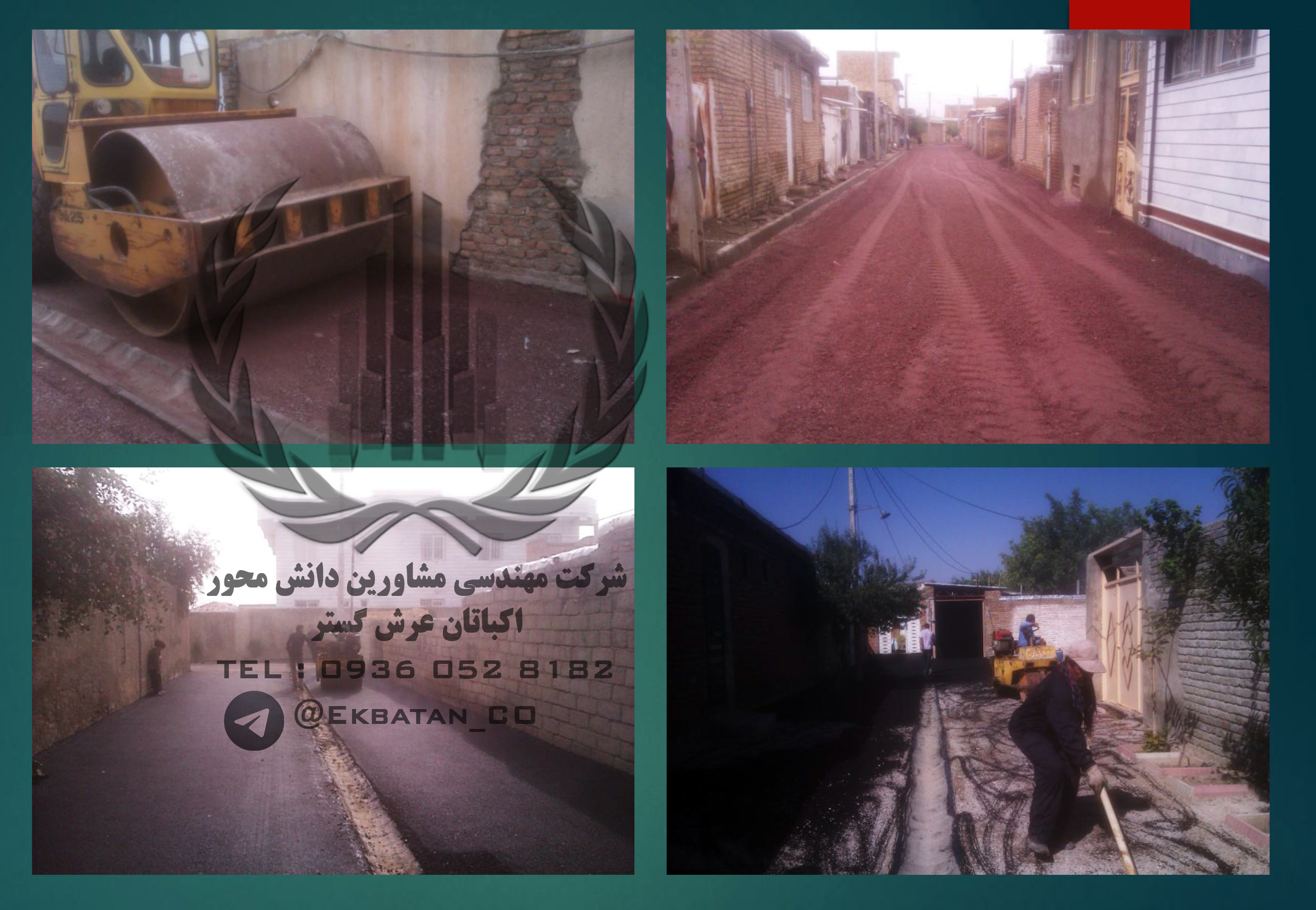
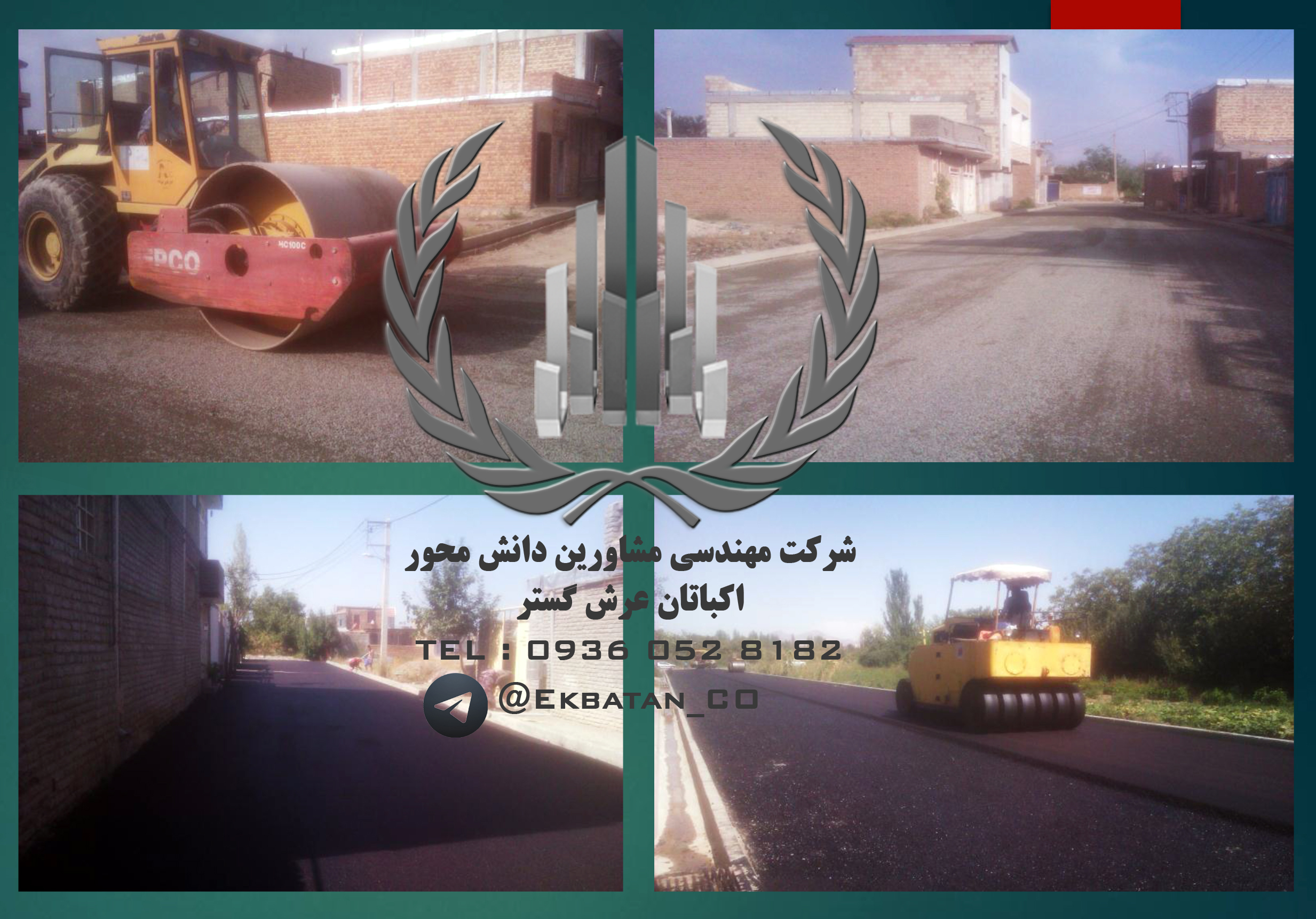
Implementing GIS projects at the provincial level
In recent years, the study and implementation of location projects are one of the key factors in the success and sustainable development of projects and projects. The importance of research and surveys is to the extent that location studies, in addition to the local and national scale, have been of great interest to researchers at the international level. In today’s societies, which are constantly encountered with plenty of criteria in decision making and lack of time, locating a special place has found. The most important benefits of locating include:
Considering and applying all factors contributing to decision making
Reduce the cost of setting up and launching activities in various fields
Reducing negative environmental impacts
Saving time
Reduce project implementation costs
Choosing the best place for all factors
The possibility of updating the location project by changing existing factors
In executing a locating project, understanding the goals and methods of problem-solving is very important.
Locating Centers (Locating Buildings and Centers) Choosing a location for one or more centers, considering other existing centers and constraints available, are designed to be optimized. This goal can be the cost of shipping, providing fair services to customers, taking over the largest market, and so on. Performing location studies requires expertise, including research in operations, decision making, geography (geology and climate), economics, computer science, math, marketing, urban design, etc. That is why, while the development of industries and its economic and social consequences, geoscience theories have become a serious form in order to optimize the productivity of industrial activities.
The high capabilities of GIS spatial information systems in the management and analysis of spatial data and the hierarchical analysis process lead to providing a very efficient environment for implementing various stages of analysis such as location and the advantages of this method (as opposed to other methods) is that in each The stage of decision-making By changing the value (weight) of each input, in accordance with the expert opinion, the analysis is updated as soon as possible and the result is graphically mapped. This will have a profound effect on the better understanding of the changes made in the study environment.
Ekbatan Survey Mapping Unit with the most comprehensive database related to the entire province has the first rank in implementing GIS projects.