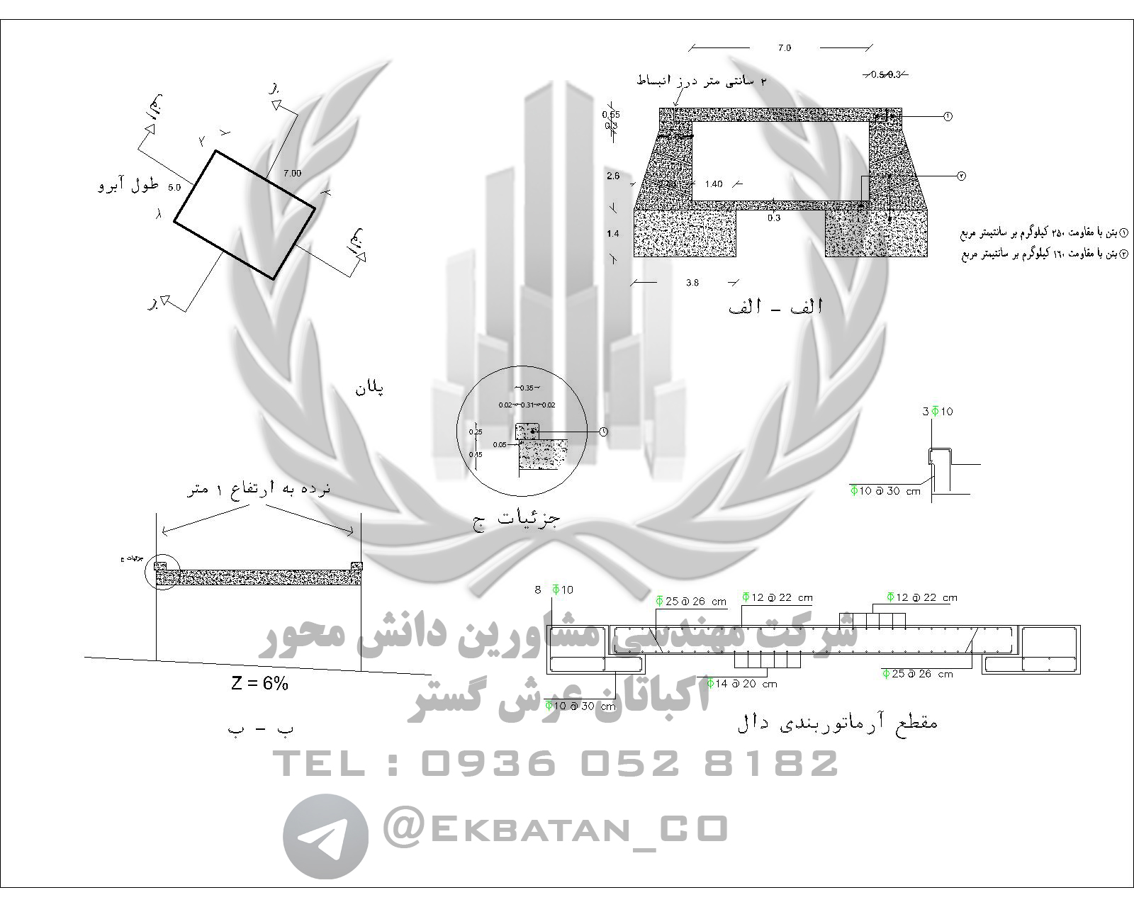
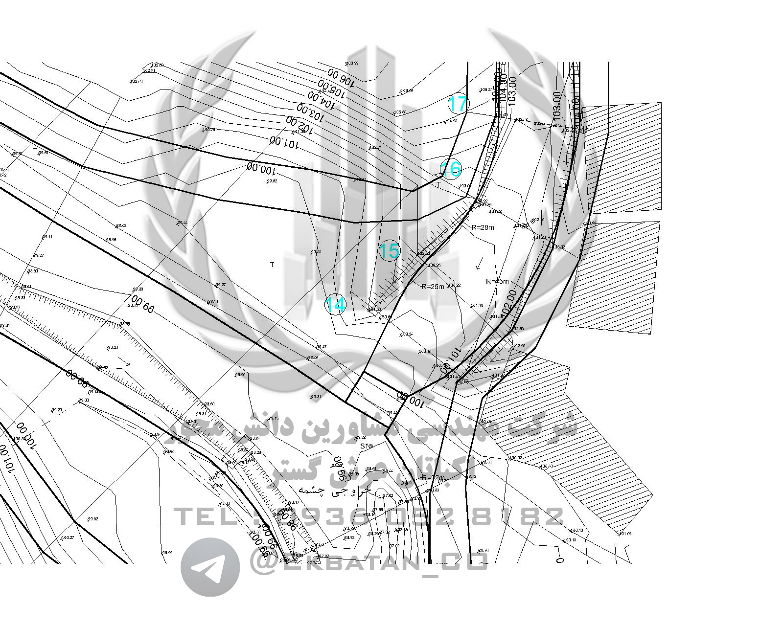


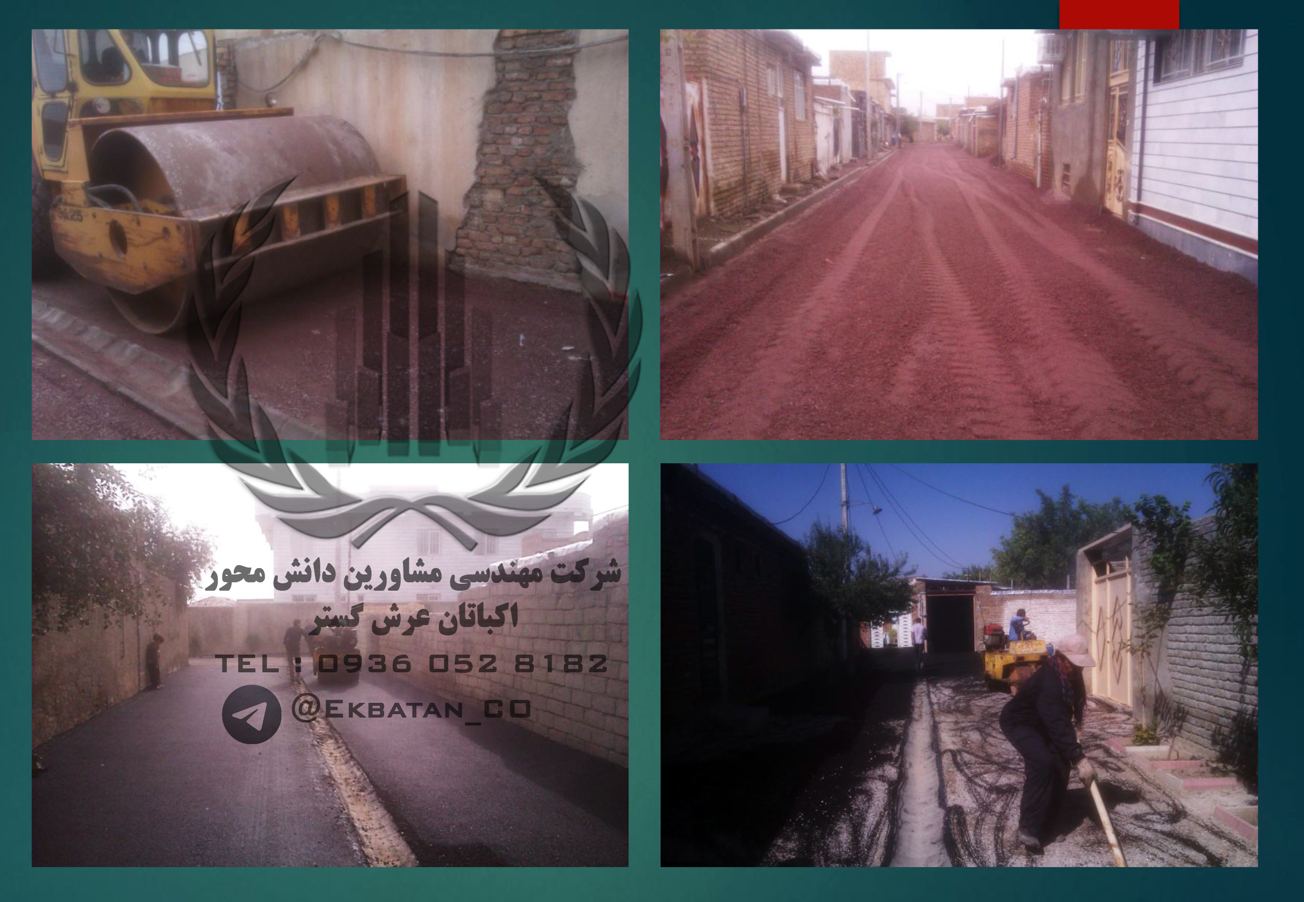
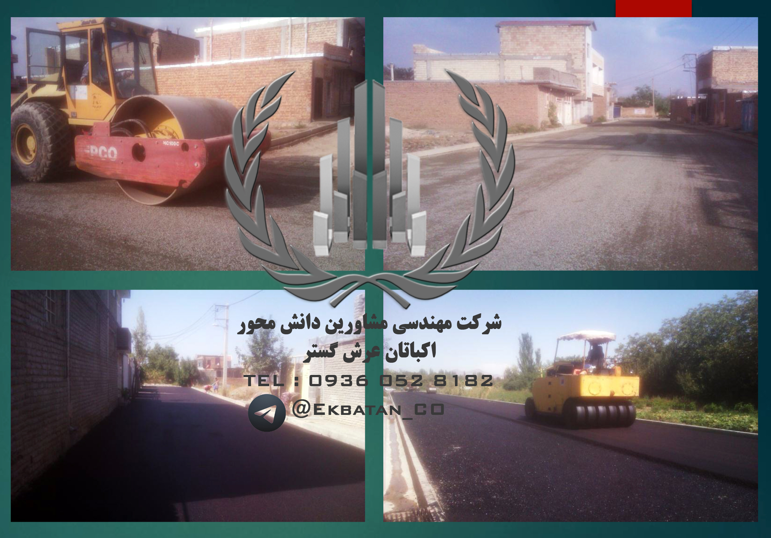
As you understand, it is obligatory to take into account the existing situation and having a map of the status of the property in question in order to carry out the design and architecture of the property. This makes it possible to obtain complete information on the status and conditions of the property, which will help to advance the objectives and complete the plan. By mapping the existing status of the property and obtaining dimensions, angles, gradients, altitudes, etc., ambiguities will be resolved and continued for the various organizations. The map can be used in relevant departments and agencies, including municipalities, registry offices, etc. All tasks related to the preparation of UTM maps, location, the realization of the property, etc. require the use of experts and mapping engineers and the official expert of the judiciary who has the necessary expertise in this regard. Professional and professional teams Mapping the mapping unit of Ekbatan Complex with advanced equipment and mapping, advanced executive panels and valuable experience and experience in various executive projects throughout the country. Services for the preparation of coordinates of UTM at the fastest time. And with the most accurate accuracy, at an affordable price.