


Prev
Next


Prev
Next
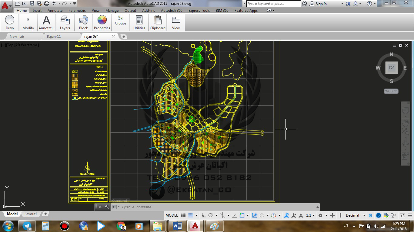
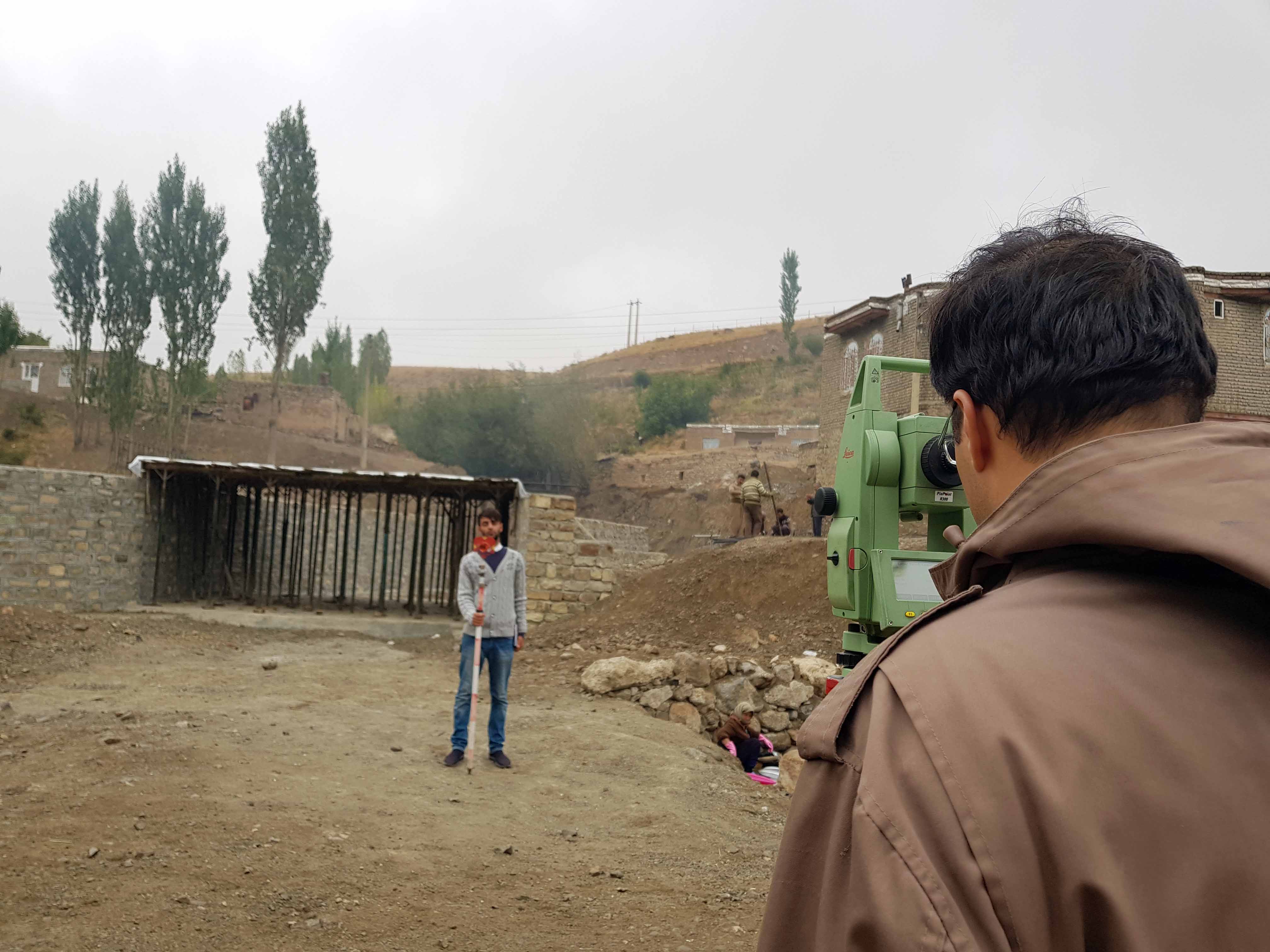
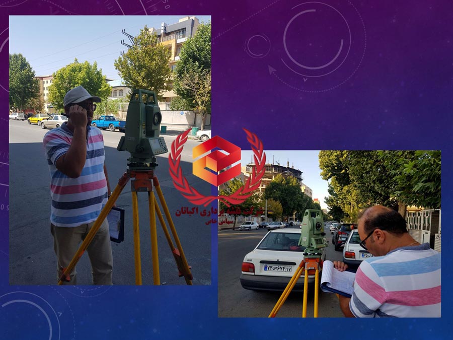
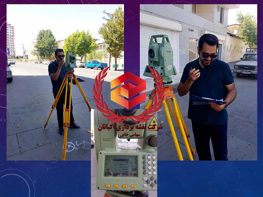
Spatial Information System
A geographic information system (GIS) is a system designed to capture, store, manipulate, analyze, manage, and present spatial or geographic data. In other words, the term describes any information system that integrates, stores, edits, analyzes, shares, and displays geographic (spatial) information.


Prev
Next


Prev
Next