


Prev
Next


Prev
Next
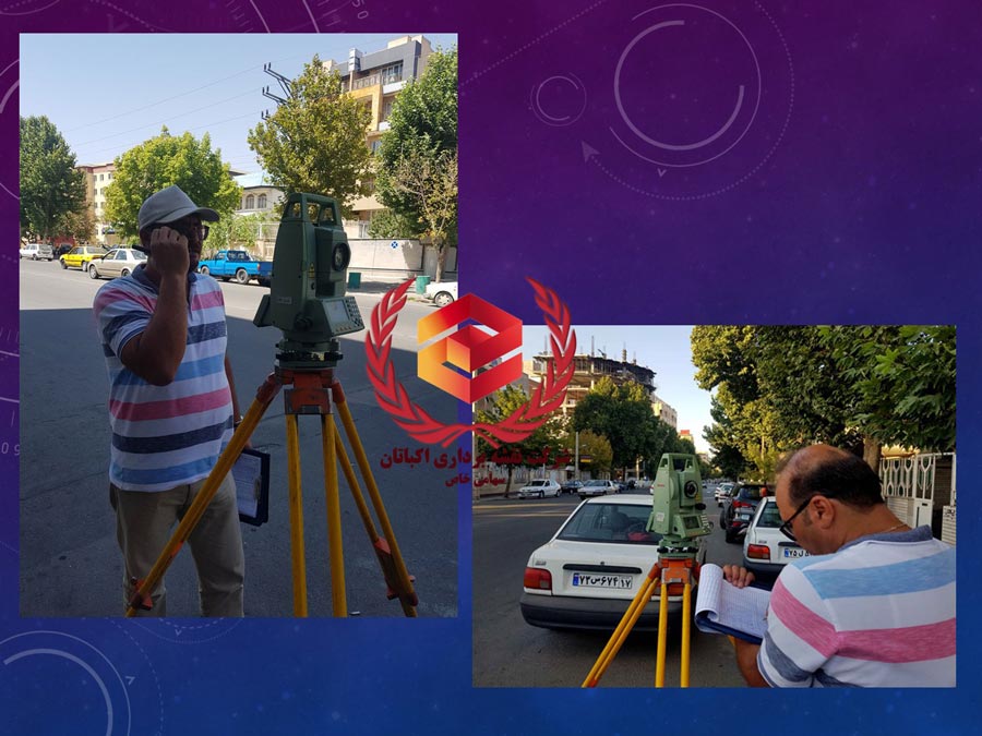
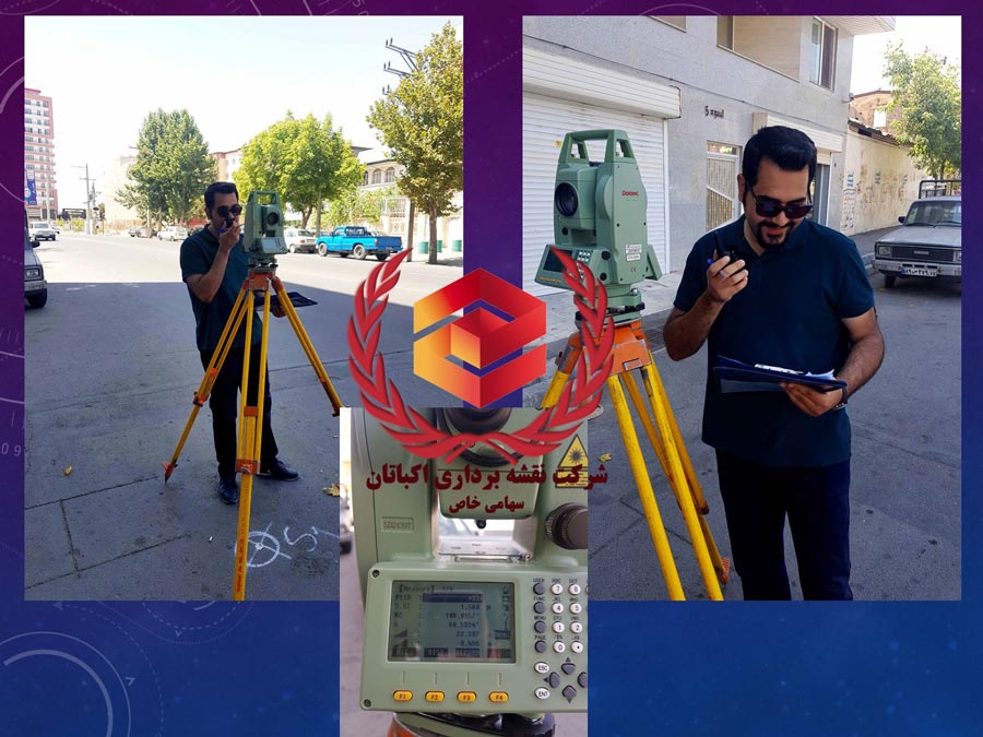
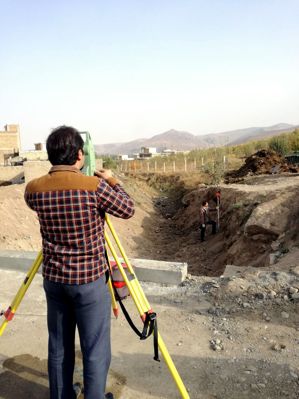
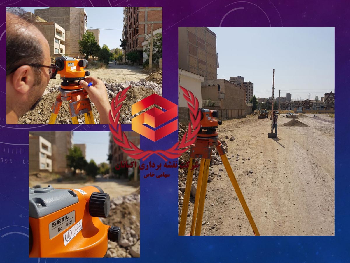
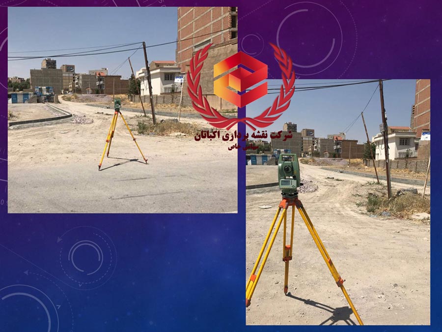
Determining the relative position of the points located on or near the Earth’s surface is the main purpose of the survey. The purpose is to determine the coordinates of the points in three dimensions. Of course, in some cases, the time dimension is also taken into account for determining the location (astronomical measurements and Satellite survey). Desired coordinates can be Cartesian (Z, Y, X) or geographic (h, y, k).


Prev
Next


Prev
Next