


Ekbatan Survey Group was established in the 1990s to participate in civil activities and development projects, and since that time, it has been working with excellent management, innovation, knowledge of the day, modern technology and creative work forces to achieve a successful and effective national presence and attempts to internationalize its activities. This consultant company has managed to carry out many projects for various governmental agencies and private companies with a certificate of expertise in land survey consultancy (GIS, remote sensing, photogrammetry and micro geodesy). For dynamism and keeping the technical knowledge up-to-date, this consultant company is a member of the Society of Surveyors of Iran and has close relation with the technical, engineering and educational departments of universities of Sharif, Tehran, Amir Kabir, Science and Technology, and Khaje Nasiirdin Tusi and Urmia University of Technology. Due to the necessity of standardization and establishment of quality management systems, the managing board of the company has been successful in obtaining international certificates by attracting experienced experts in various fields with their high quality and technical management.
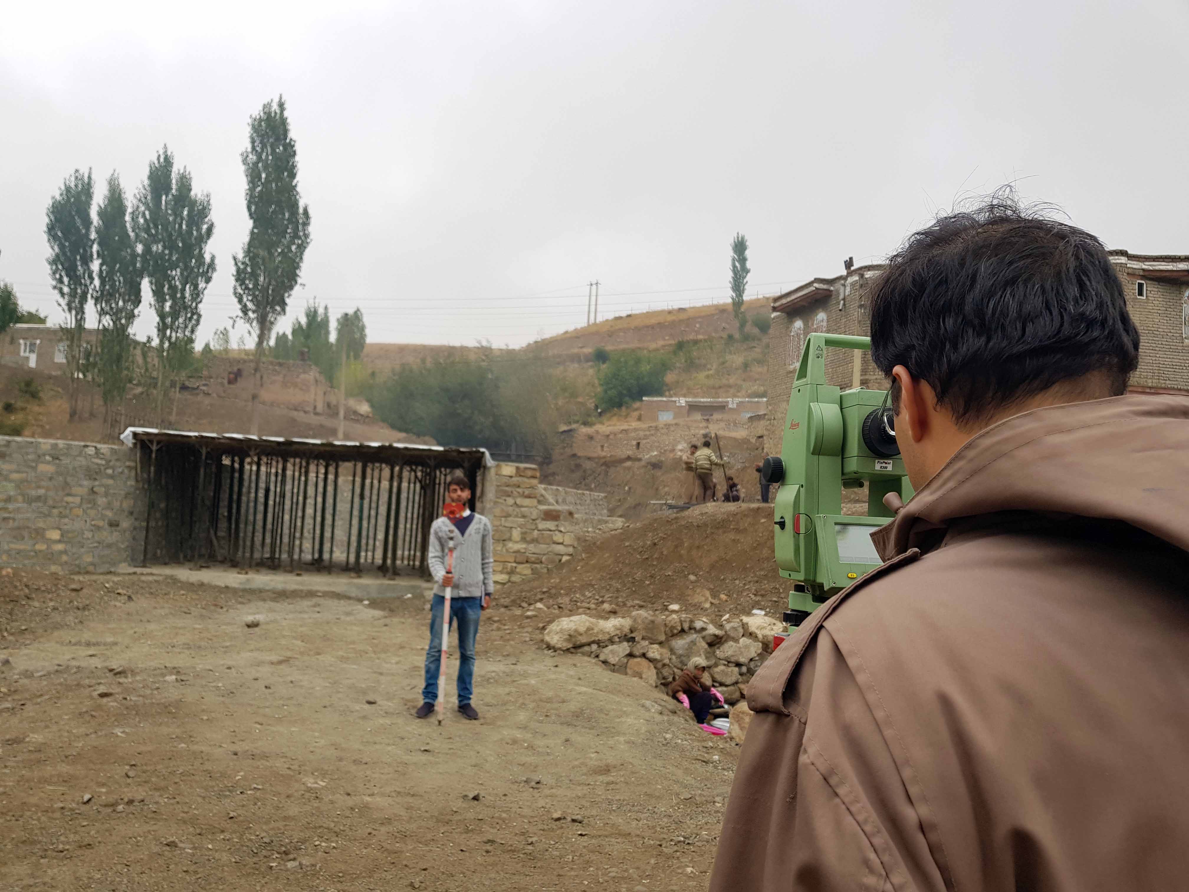
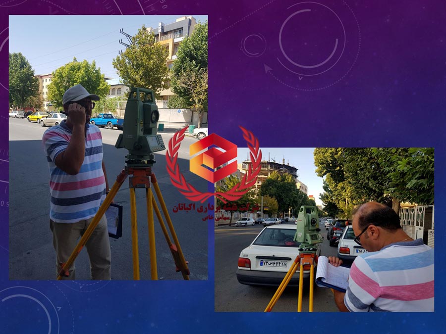
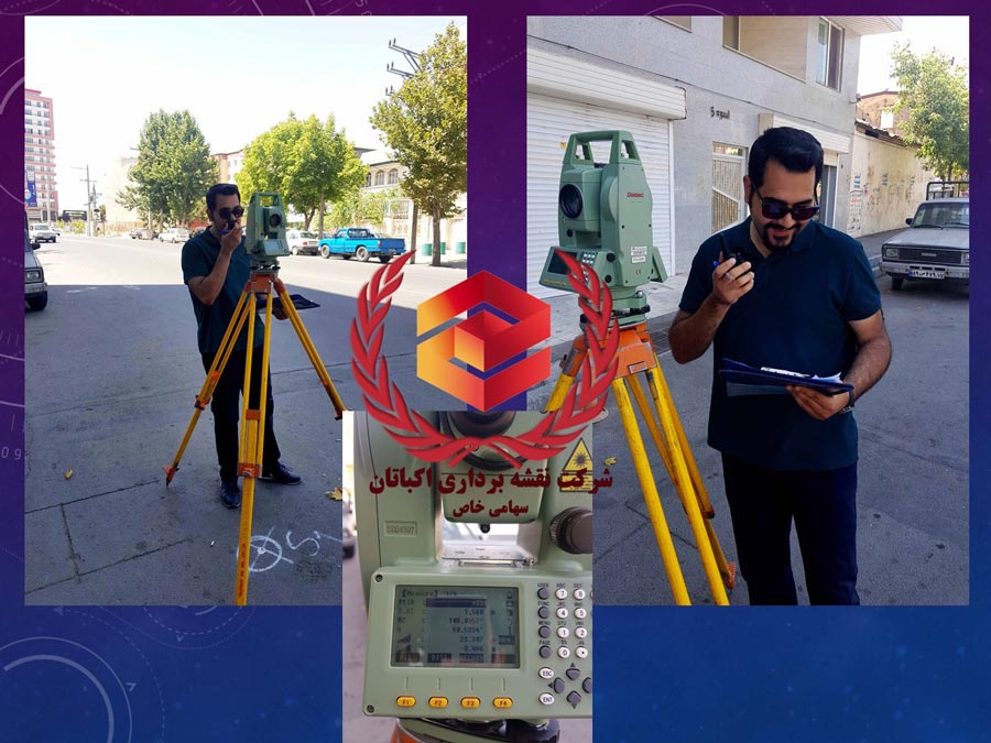
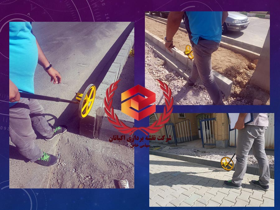
Ekbatan Survey Group is the result of several years of collaborative co-operation between our colleagues in the field of mapping expertise. The Ekbatan Group tends to be the best of its kind with the help of expert, experienced and educated work forces who have been educated in the best universities in Iran. Our colleagues have been able to do anything in their specialties by deploying the world’s innovative techniques and knowledge, the best features and latest software, and above all with the ability to think and invent new methods and software. Ekbatan Survey Group consists of four engineering units including land survey, In-site Survey, remote sensing and GIS.