


Prev
Next


Prev
Next
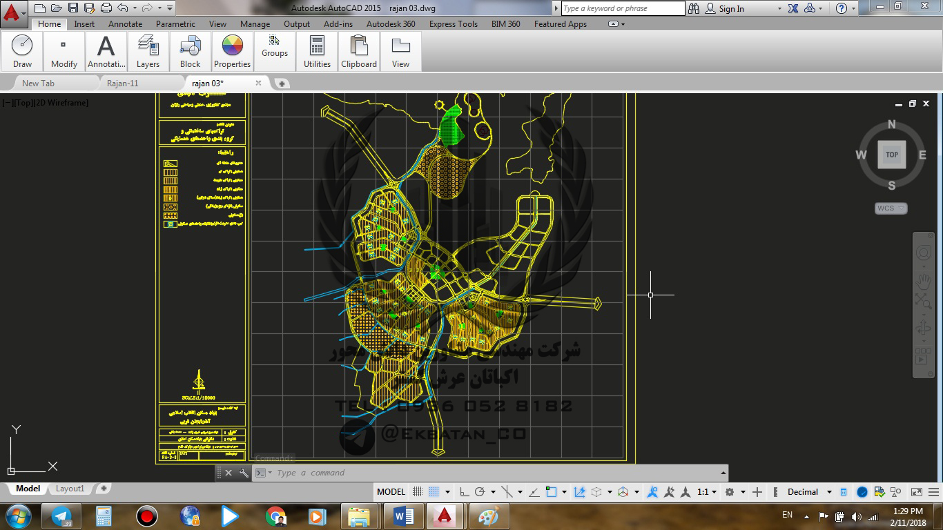
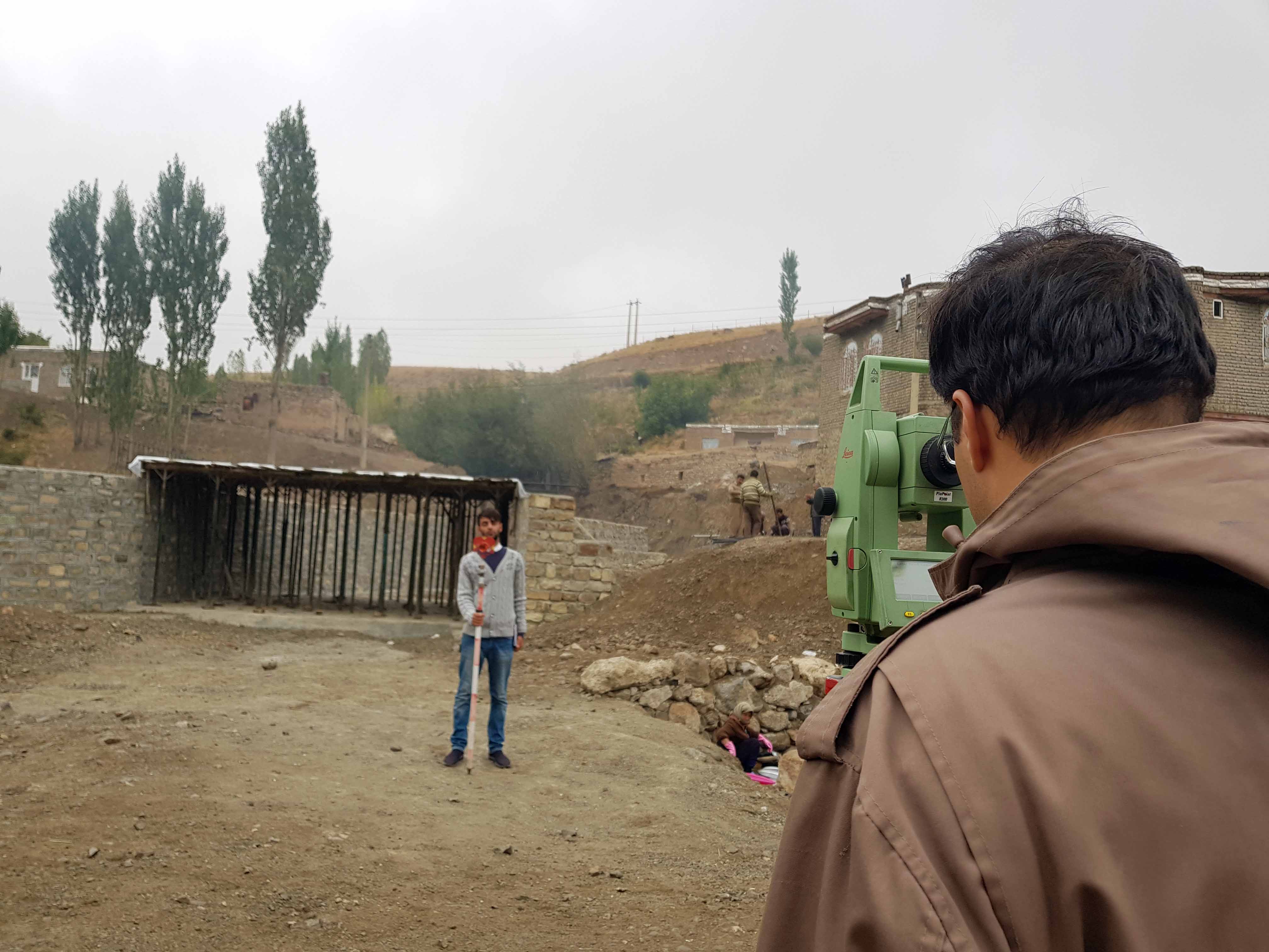
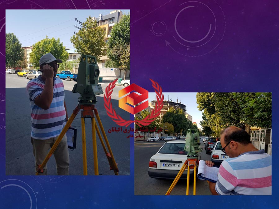
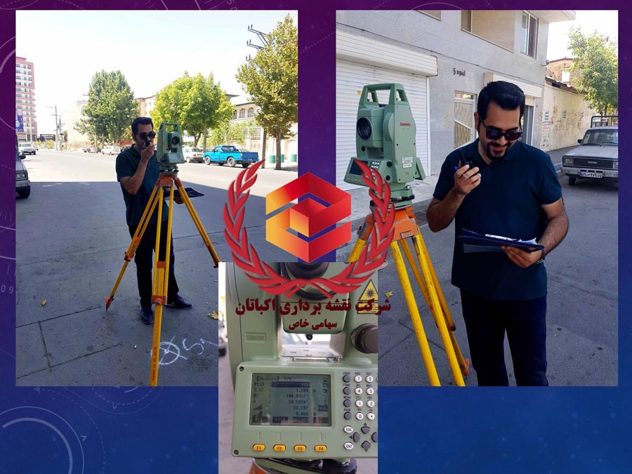
GIS
The Geographic Information System (GIS) is an information system (usually computerized) that generates, processes analyzes and manages geographic information (spatial information). In other words, GIS is a computerized system for managing and analyzing spatial information that is capable of collecting, storing, analyzing and displaying geographic (spatial) information.


Prev
Next


Prev
Next