


Prev
Next


Prev
Next
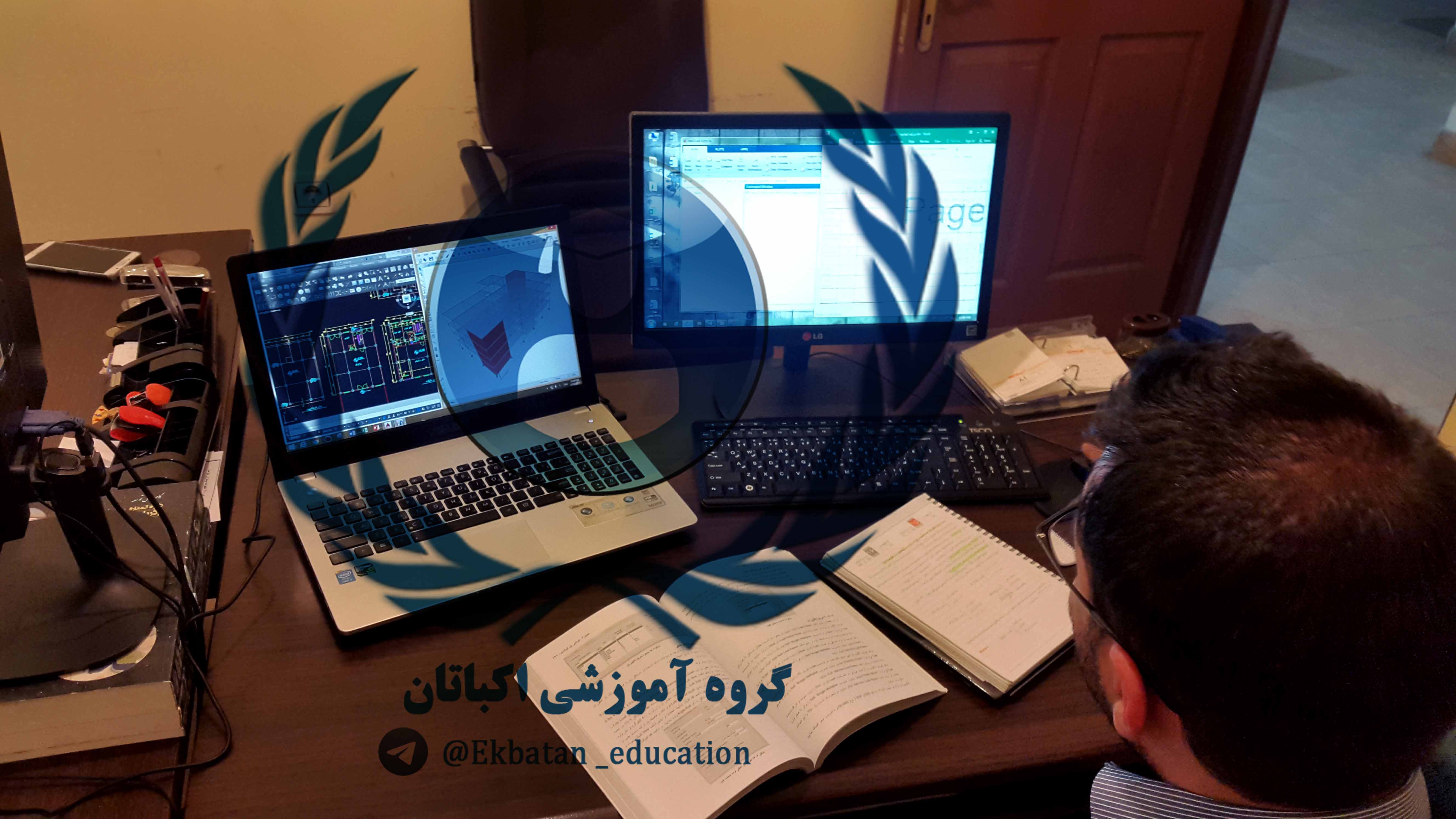
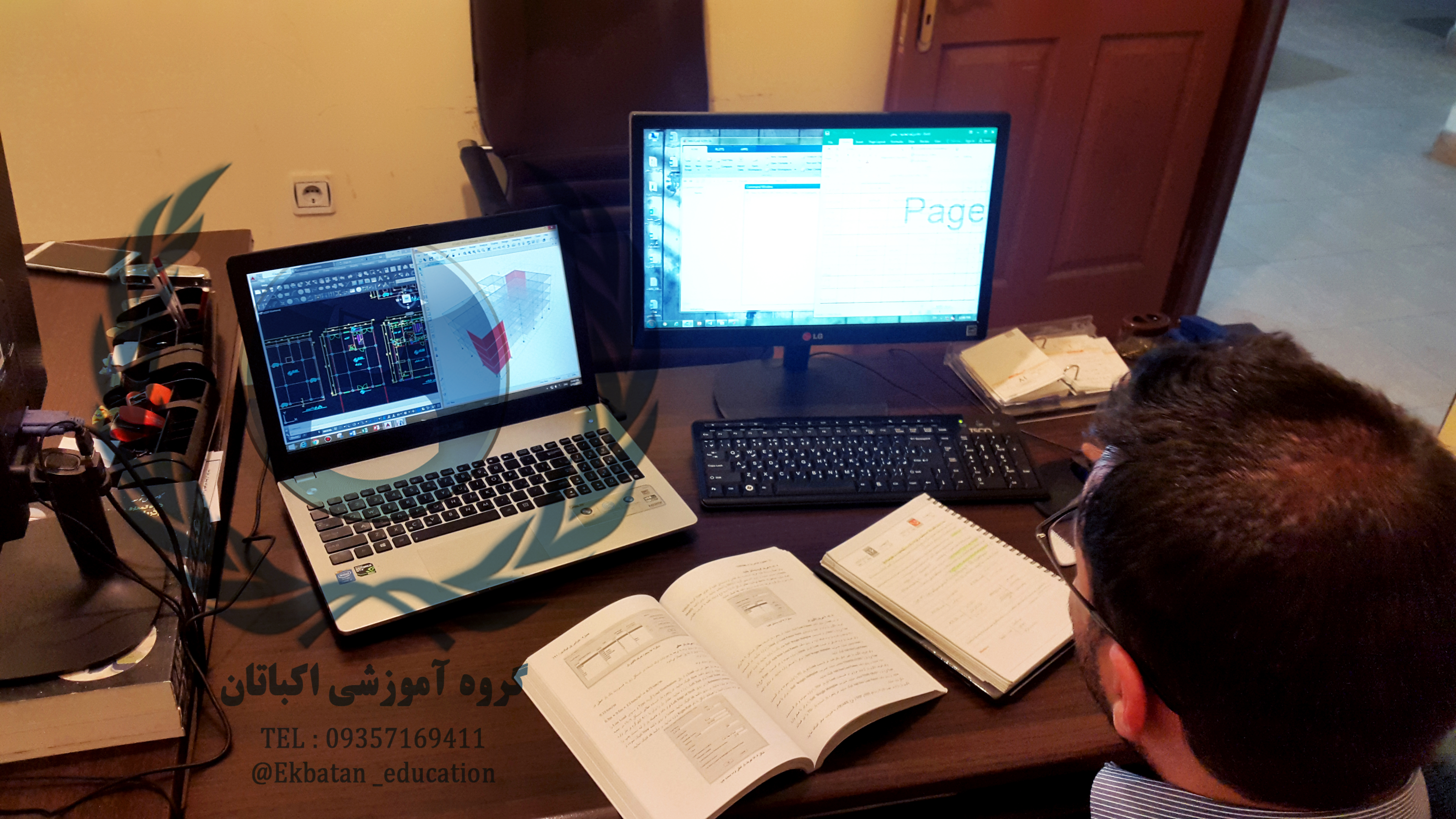
Mapping software training course includes AutoCAD Land Development – XML Reporting, AutoCAD Civil 3D Design, SDR Mapping – Design, AutoCAD 2D – 3D at primary and advanced levels. By participating in these courses, you can easily cartograph in Autodesk software environment, calculate the volume of ground operations, create an alignment, and create a variety of Vertical and Horizontal arches such as colloidal and … and design longitudinal and transverse profiles for the path. This course is organized as group meetings or private classes and participants receive certificate of training from the company.


Prev
Next
Prev
Next