


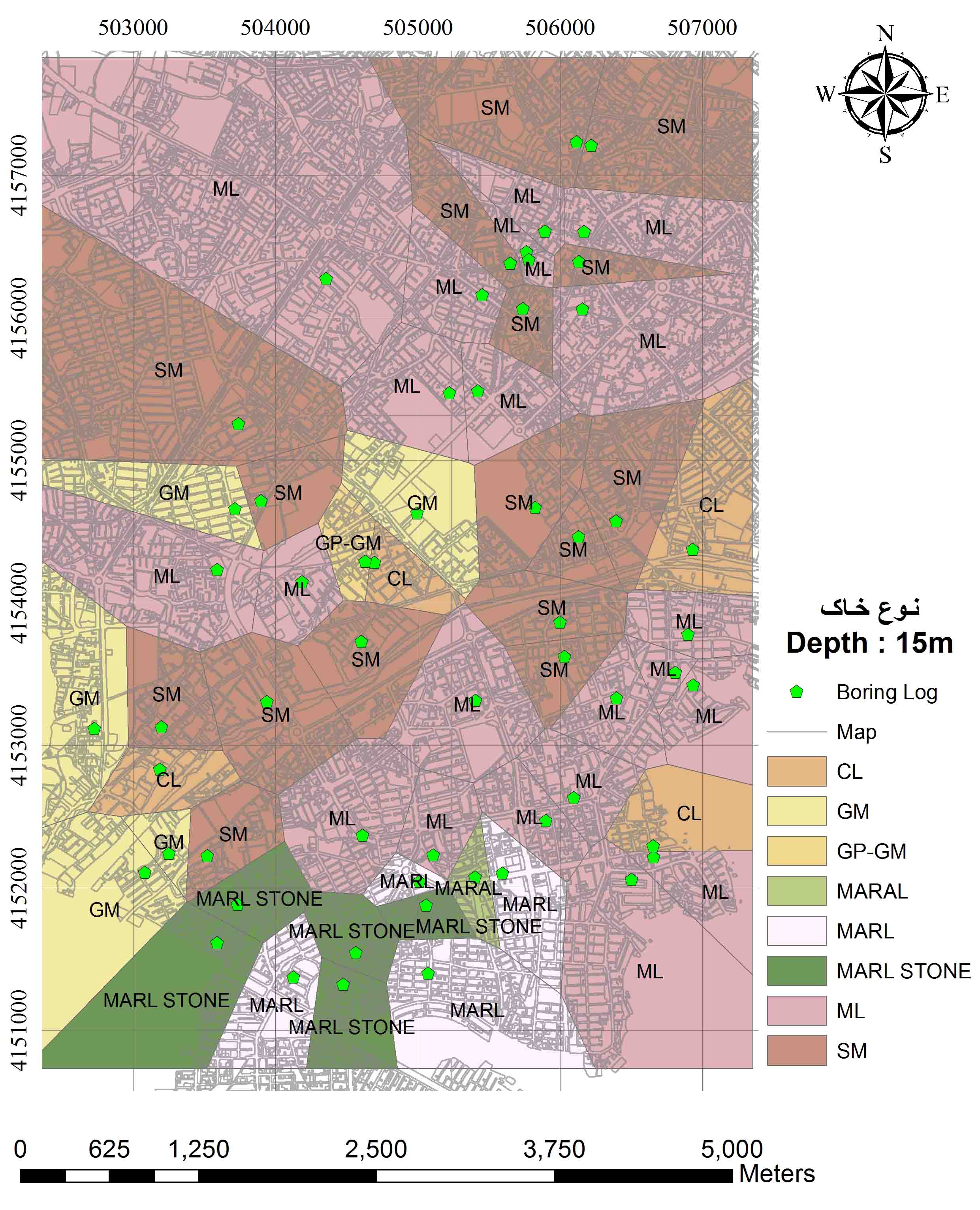
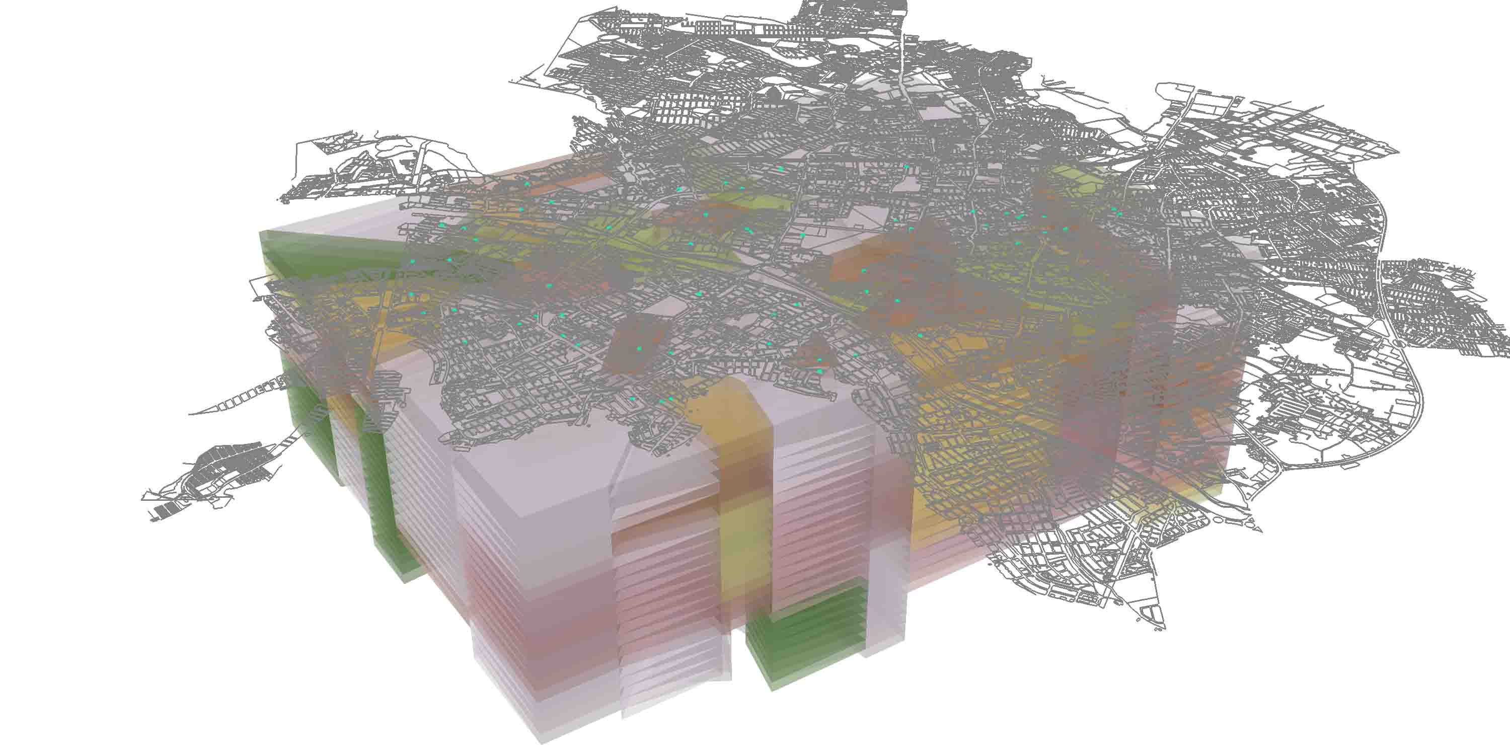
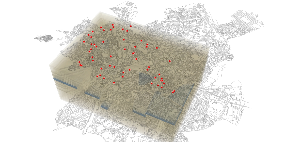
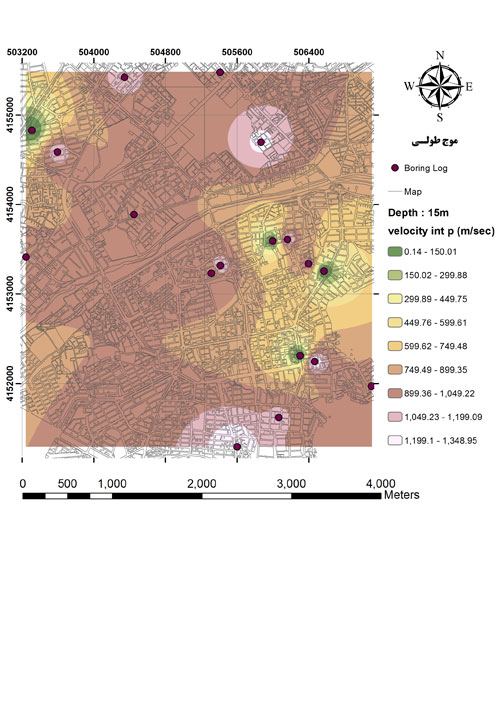
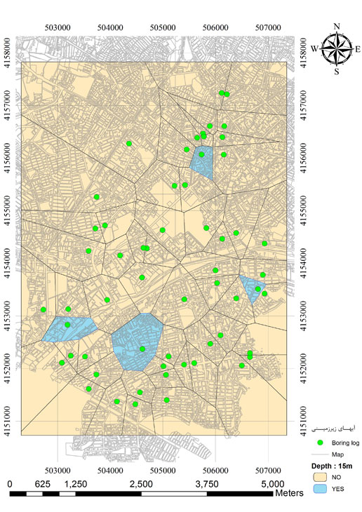
A three-dimensional model of the characteristics and parameters of a city’s soil can play an important role in management and planning of defining the appropriate location for buildings and spaces geotechnically. Defining the permissible resistance in designing a foundation requires carrying out field and laboratory tests and the determination of geotechnical parameters at the site. During studies that will be carried out on 76 boreholes in the city of Urmia (zone A site specified in the attached maps). Considering the probable existence of the space structure in the existing statistics, a suitable model of statistical estimation of the land using ArcGIS software, data Will come to the map format. Some models of statistical modeling were used to draw maps. After comparing these models, a model that was most compatible with the area and data dispersion (IDW) for the preparation of zoning maps at a certain depth for zoning in terms of variations in velocity of shear wave Vs – sections of subsoil layers – determination of groundwater level … will be provided and presented.